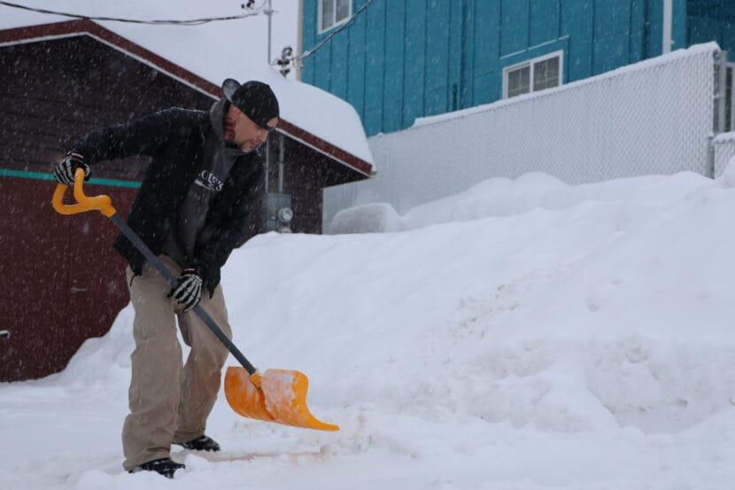
Heavy snowfall in Juneau is expected to continue through Monday night and into Tuesday afternoon.
The storm has already dumped around 16 inches of snow since it began on Saturday evening. Now, the National Weather Service has issued a winter storm warning saying that another 10 to 14 inches could fall before the storm subsides.
Meteorologist Nathan Compton said the rate of snowfall hasn’t been unusual — but the duration is.
“That’s due to a front basically sitting over Juneau all the way to Pelican,” he said. “It’s not moving. If it were to move north, we would get rain. If it were to move south, we would really limit the amount of snowfall we get. But it’s really just parked over us.”
As the snowfall continues, temperatures will warm across the Panhandle. Freezing rain has already started to fall between Wrangell and Kake and up to Yakutat.
Temperatures in nearby communities like Gustavas, Hoonah, Pelican Island and Elfin Cove are expected to warm up first, ushering in a blend of snow and rain. That wintry mix will reach Juneau later this week, and the rain could bring slick conditions and even more challenges for snow removal.
“We’re going to be sitting right at that 32, 33 [degree] mark. And so as soon as it hits the snow, it’s probably going to refreeze, you’ll get that crust,” Compton said. “That’s going to be on top of anything that’s already fallen. So things are going to be pretty difficult to move out there.”
That mixture of rain and snow, paired with rising temperatures, can also elevate avalanche risk.
Monday’s urban avalanche advisory is high. There is the potential for large avalanches, but no calls for evacuations at this time. Avalanche danger will likely remain high for the next several days as the snow settles and temperatures continue to warm up.
People living in avalanche zones should continue to monitor the advisory at https://juneau.org/emergency/current-advisory.