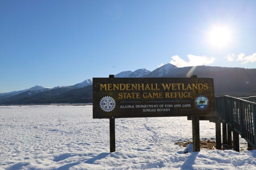
The Mendenhall Wetlands State Game Refuge has protected Juneau’s tidelands since the late 70s. Maps from that time show an abundance of high meadows where black bears roam, marshes where waterfowl roost and seaweed beds that are home to mussels, barnacles and young fish.
Juneau’s tidal wetlands refuge lines both sides of the Gastineau Channel from Lemon Creek to Fritz Cove. And it’s changed rapidly since first mapped, with ongoing development pressures and land that’s rising nearly an inch a year as Juneau’s glacier retreats.
Though these changes are happening fast, many of Juneau’s wetlands management policies are based on maps that are more than 40 years old. The Southeast Alaska Land Trust is hoping to change that by creating brand new maps.
“We decided to go out there and really do a survey of the whole 5,200 acres or so in order to get a handle on what the habitats are now. And really importantly, what are the functional aspects of those habitats,” said Matt Robus, a retired wildlife biologist who chairs the trust’s lands committee.
This fall, a team of scientists led by the land trust and wetlands specialists from Bosworth Botanical Consulting did more than 50 drone flights and took more than 4,000 photos on the ground. They’ll pair that data with LiDAR elevation models to create digital maps of the wetlands.
The team also did fieldwork to document the vegetation, soil types and hydrology of the many tidal habitats — including uplift meadows, grass high-marsh, sedge low marsh, succulent low-mars — and they did assessments to determine their health.
The hope is that the maps will document the many beneficial functions of the wetlands.
Wetlands clean water and sequester carbon. And in Juneau, the Mendenhall Wetlands — known as Taashuyee Chookan.aani, or “river/tide-flats” in Lingít — are a critically important habitat for migratory birds and marine life.
Many of the krill that feed Juneau’s resident humpback whales and the fish that populate rivers from here to the Chilkat Valley are born in Juneau’s tidelands.
“The Mendenhall flats is this wildlife and fish factory that is sitting there cranking out resources without us having to do anything other than kind of leave it alone,” Robus said.
Leaving the wetlands alone is one of the main goals of the land trust. They own and manage nearly 22 other wetland properties around town, which are set away for conservation.
The trust hopes a new map will help to push back against development pressures, which have been growing since the original map was created in 1979.
“Anyone who marches out into the flats or walks their dog on the Airport Dike Trail can look around and see how many more private properties have been developed right down against the edge of the refuge,” Robus said. “They’re all the way around the perimeter, pretty much.”
The biggest proposed development is the Juneau-Douglas second crossing. The project aims to construct a new route that would supplement the existing Douglas Bridge. Though it’s still in the planning phase, four of the five proposed routes cut through the Mendenhall State Game Refuge.
The Alaska Department of Fish and Game, which manages the refuge, was a partner on the mapping project.
Robus says new maps will better capture what’s at stake if the second crossing moves forward.
“We’ve already over the years affected or removed at least 40% of what used to be the Mendenhall Wetlands. And so what we’ve got left is a, somewhat of a remnant, although it’s a healthy remnant,” Robus said. “And we just, in my opinion, need to be extremely careful with what we do from here on out.”
Though they’re still in draft form, the maps are expected to be done by spring — ahead of the next planning phase for the second crossing.