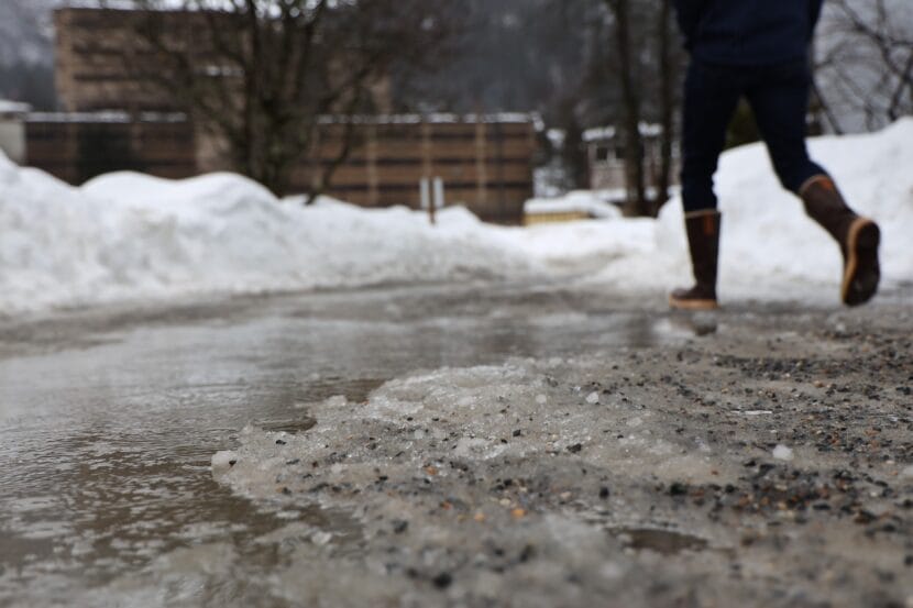
A warm front and waves of heavy rain are on the way to Juneau this weekend after two winter storms dumped more than 60 inches of snow over the last two weeks.
Spencer Fielding, a meteorologist with the National Weather Service, said one to two inches of rain are forecast each day, starting on Friday and lasting through at least Monday.
Temperatures are also expected to slowly rise to the 40s or even 50s leading into next week.
Fielding said the rain could mean flooding in places where snow is blocking drains.
“The big concern is that with the snow melting, there’s no place for it to run off,” he said. “So, it’s going to choose the path of least resistance which will be flowing down streets and trails.”
Tom Mattice, the city’s emergency programs manager, said the rain will likely mean heavier snow loads on houses and boats — and it will increase the potential for avalanches in Juneau.
“We expect to see continued activity. It could border on the urban front, but we hope that it’s small enough that we don’t have to worry about that in the urban environment,” he said.
On Wednesday, at least two avalanches came down on Basin Road and Behrends Avenue. But Mattice said there are still dry and weak layers deep in the snowpack that could give way and release an avalanche from the stress of the rain soaking the upper layer.
“It definitely adds a lot of mass to the equation,” he said. “So anything that does get hit, gets hit with tremendous force.”
The Alaska Department of Transportation and Public Facilities announced Thane Road will close Friday at 6 p.m., and Mattice said that closure could continue through the weekend. He encourages residents to limit their time in avalanche terrain if possible.